
 SAN DIEGO ASSOCIATION OF GEOLOGISTS
1998 Field Trip to Imperial and Mexicali Valleys
Cerro Prieto geothermal area

 SAN DIEGO ASSOCIATION OF GEOLOGISTS
 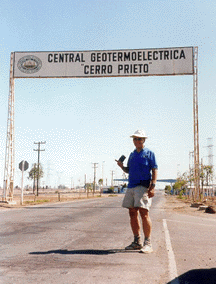 Trip Leader, Lowell Lindsay Photo by Barbara B. Birnbaum |
We toured the geothermal field, observed surface features including bubbling mudpots, the Cerro Prieto and Imperial fault traces, a recently erupted geyser, Volcano Lake, and the volcano. |
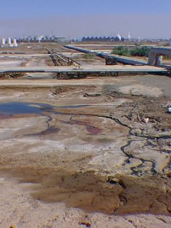 Photo by Phil Farquarson | |
| Three power plants at Cerro Prieto, operating at over 90% effieciency, produce a total of 620 megawatts, enough to power 80% of Baja California (Norte) with ample reserves left to export to the San Diego/ Imperial Valley region. |
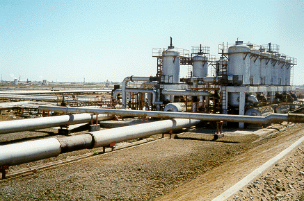 Photo by Carolyn Glockhoff |
||
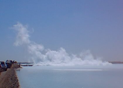 Photo by Phil Farquarson |
Excess steam from hydrothermal production releases to Cerro Prieto Lake. Steam temperatures beneath the power plant reach between 300 - 350° C (570 - 662° F). |
||
|
Cerro Prieto geologist, Martin Corona, explains the geology and hydrothermal production from the geothermal field. Geothermal wellfields occupy about 12 km2 with another 20 km2 in proven reserves. |
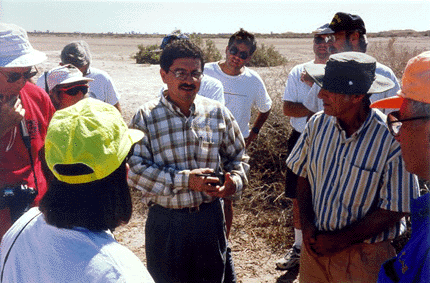 Photo by Barbara Birnbaum |
||
| On Wednesday morning, 10/14/98, a small (3.8M) earthquake located 26 miles SSE of Calexico, reminded us of how geologically active the area is. Note from Phil Farquharson, trip participant on 10/14: "I took a GPS reading at the visitor center of 32°25.148'N /115°13.437W, and this morning's earthquake was centered at 32°21.36'N /115°14.76W, a distance of about 4 miles to the southwest, which would put it right at the center of the powerplant, although 3.7 miles down. I wonder if they had any disruption (plus or minus) in their steam generation!" |
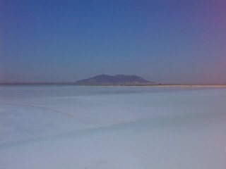 Cerro Prieto Lake and Volcano Photo by Phil Farquarson | ||


|

|
Geothermal Field Trip 

| |