 SAN DIEGO ASSOCIATION OF GEOLOGISTS
1998 Field Trip to Imperial and Mexicali Valleys
Imperial Valley faulting

 SAN DIEGO ASSOCIATION OF GEOLOGISTS
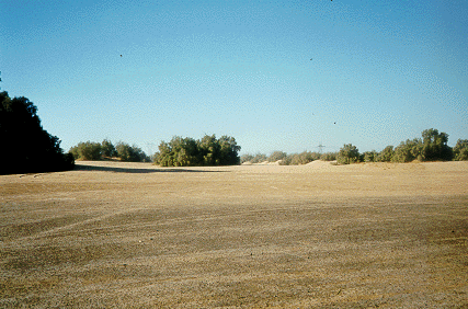
  Heber Dunes County Park |
Friday night, 9 October SDAG Members and Guests camped out in Imperial Valley, at Heber Dunes County Park. Heber dunes are levees and river channel deposits created by an abandonded arm of the Colorado River, which before the river was dammed, flowed unimpeded into the Gulf of California. Even though this area is a desert, wind did not build Heber Dunes. |
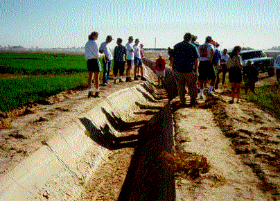
 Irrigation ditch offset by fault |
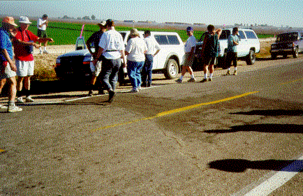
Saturday morning, the field trip begins. Approximately 2.5 miles west of Heber Dunes County Park, the Imperial Fault crosses Heber Road, disrupting the drainage canal. To find the fault trace, geologists can easily follow broken or offset and repaired drainage structures. This area of the Imperial Valley is part of a spreading center associated with the San Andreas Fault System. |
 Photos by Carolyn Glockhoff |
Irrigation ditches illustrate recent right lateral offset better than the highway, which has been repeatedly repaired and repainted to keep up with fault creeping. The Imperial Valley is a rich agricultural area built on thick Pleistocene sediments. |


|

|
Geothermal Field Trip 
|
|